

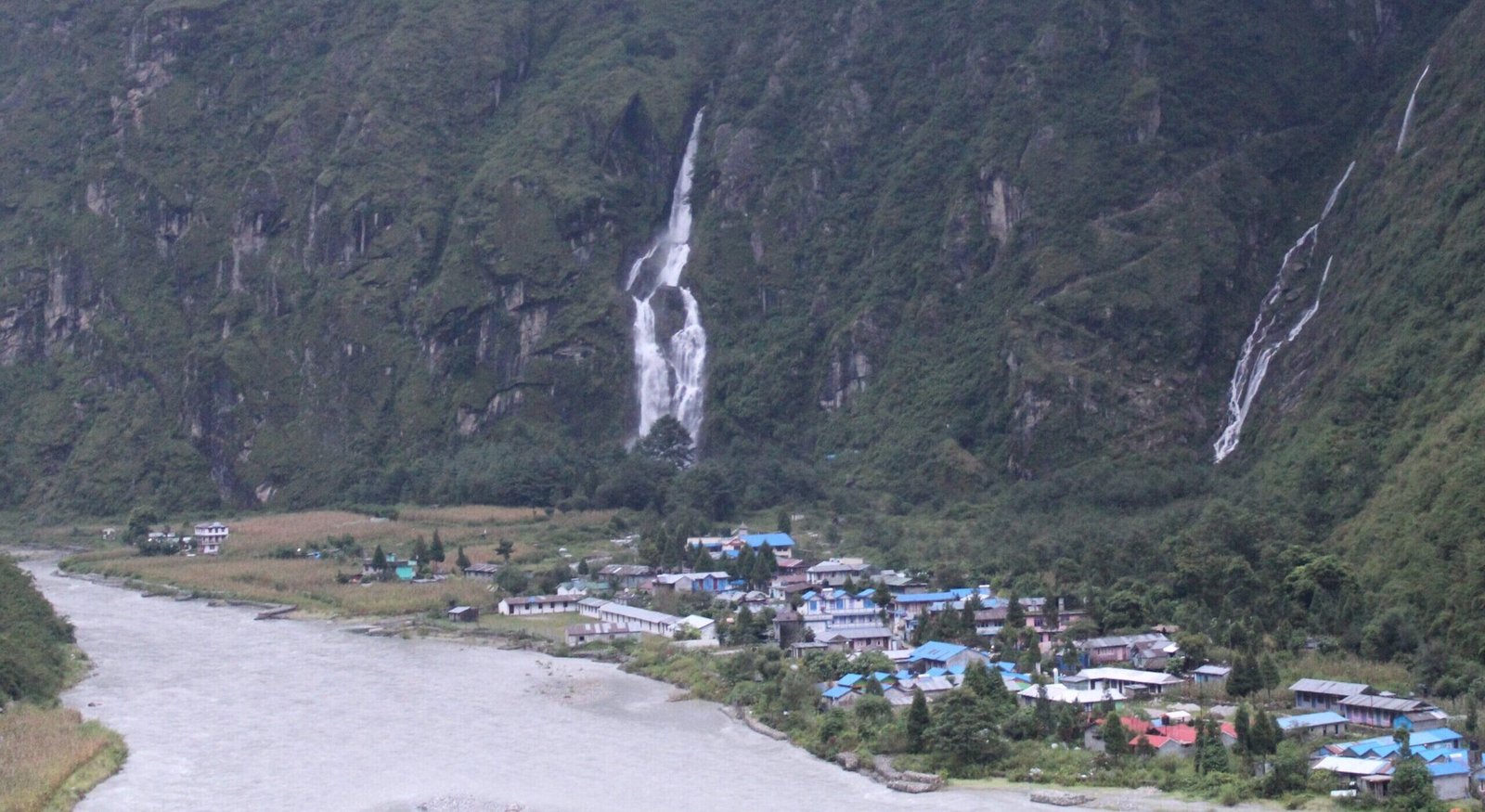
Lakes that didn’t exist yesterday are flooding the Himalayas
Story and photograph: Nitin Deshdeep · 8 min read
On 26 August, ice and rock broke off a mountain in Nepal’s Langtang region and fell into a stream. Water piled up behind the debris, then broke through. More than 1,400 people are dead and thousands are still missing (The Tribune). The lake behind that flood did not exist the day before. A month later, at Chame in Manang, Nepal, a landslide partly blocked the Marsyangdi river and made another lake within hours.
These floods are urgent reminders of a problem India has known about since Kedarnath in 2013. They also show what India’s response to that problem can miss.
India is preparing for floods from its glacial lakes. The next one may come from water that isn’t a lake yet.
Langtang, Nepal
The ice and bedrock fell about 1,200 metres off Langtang Lirung before it reached the valley floor, on August 26, 2026. Its debris blocked the Lhende Khola, a stream that feeds the Bhotekoshi near the Tibet border (UN News).
Glaciologists writing on AntarcticGlaciers.org were clear about the cause: “It does not appear at this time that this event involved a GLOF.” A GLOF is a glacial lake outburst flood. It happens when a lake held back by ice, or by rock a glacier left behind, empties all at once.
The same writers pointed to the conditions behind the collapse. Since 2000, Langtang’s glaciers have retreated 1.5 times faster than they did between 1964 and 2000. The region has warmed by 0.31°C a decade, and the shrinking glaciers have left ice hanging on steep slopes.
Nepal’s authorities learned of the flood only as it was nearing the border, UN News reported. Warnings then went downstream by text message, social media and phone call. Writing in Nature India the next day, Sudeep Thakuri put the warning time for glacial floods at five to thirty minutes.
By 28 August, a second lake was filling where the Chhochen Khola meets the Purepu Tsangpo, on the Nepal-China border. China’s Ministry of Water Resources estimated it held 1.5 to 2 million cubic metres of water (Al Jazeera).
As of 20 September, Nepal’s disaster authority had counted 1,451 dead and 5,786 missing, including 636 foreign nationals (The Tribune). No list of glacial lakes could have included the lake behind that flood. Until that day, it was a stream.
Chame, Nepal
Between 24 and 28 September in 2026, heavy rain across Nepal set off 285 landslides, by the count of the landslide researcher Dave Petley (Eos). Fifteen people died.
On 27 September, one of those landslides came down at the Ghatte Khola and partly blocked the Marsyangdi. A lake formed at Chame, and residents spent the night in the forest (Kathmandu Post). At 7:45 that evening, the District Administration Office warned that the landslide “has not stopped yet” and asked settlements along the river to stay alert (Nepalnews).
By Monday morning the water had dropped by about a metre. “The lake that formed yesterday has fallen significantly,” Chief District Officer Mukti Prasad Khanal told the Kathmandu Post, and people began walking home.
At Chame, the danger came from a landslide, not a glacial lake.
Tal, Nepal
Downstream of Chame, on the same river, the village of Tal flooded the same day. It sits on flat ground beside the Marsyangdi, at the southern edge of Manang district (Pardafas).
Tal had only recently finished rebuilding when, on 27 September, the Marsyangdi came into the village again (Ratopati). Residents moved into the health post and the school, and floods and landslides blocked both roads out (Ratopati). “Floodwaters have entered many houses here,” said the ward chair, Min Rashi Gurung. “There is no phone, no network is working.”
The rebuilding followed an earlier flood. On 15 June 2021, the river submerged half of Tal, including Bhanu Secondary School, and displaced more than 56 families (Kathmandu Post). A police officer, DSP Subash Khadka, gave the reason at the time: “huge boulders have partially blocked Ghatte Khola in the rural municipality diverting the flow of the river into villages.”
There is no glacial lake in Tal’s story. Its danger sits on the hillsides above the river, and in the stream beds that can carry those slopes into it.
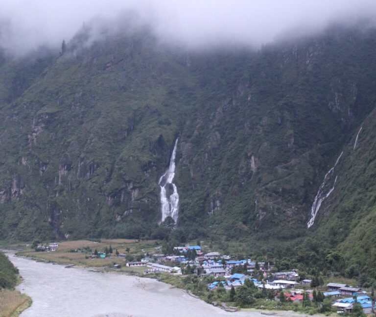
The same slopes in Uttarakhand
None of this is foreign to Uttarakhand. Garhwal and Kumaon share the same young, steep mountains as Manang and Langtang, and the same monsoon.
The valleys look alike too: settlements on the flat land by the river, and roads and trails cut into the slopes above. Gaurikund, where the walk to Kedarnath begins, sits on a ledge over the Mandakini.
So the useful question is not whether Uttarakhand has glacial lakes. It does. The question is what the state and the country are watching for.
Kedarnath, Uttarakhand
The Kedarnath flood came from a glacial lake.
In 2013, the snow above Kedarnath melted unusually fast for four weeks. Then the monsoon arrived early, and 390 mm of rain fell between 10 and 17 June (Allen et al., Landslides, 2015).
Above the town sat Chorabari, a lake held back by a moraine — a wall of loose rock and earth left behind by a glacier. On 17 June the moraine gave way. The flood that followed lasted 10 to 15 minutes at its most intense, according to a 2019 study in the Journal of Mountain Science. At its peak, about 1,700 cubic metres of water passed every second.
More than 6,000 people died across the region (Allen et al.).
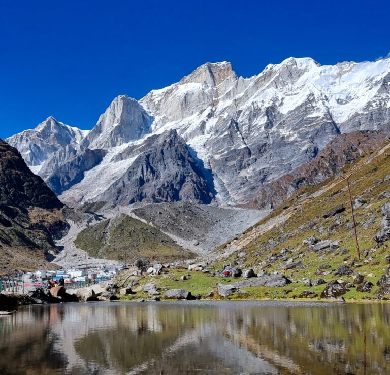
Chorabari is the kind of flood India’s national programme is now built to catch.
India’s glacial lake programme
India’s official picture of the risk came in a written reply to the Lok Sabha in July 2026. The government, it said, monitors 2,485 glacial lakes larger than 10 hectares across the Indian Himalaya (Millennium Post).
A 2025 assessment of 189 high-risk lakes placed 56 in the “very high risk” class. The National GLOF Risk Mitigation Programme, approved in 2024, has ₹150 crore, of which ₹52.5 crore is for monitoring and early warning. The same reply said: “at present no end-to-end GLOF EWS has been commissioned.” An EWS is an early warning system — equipment that watches a lake and warns the people below it.
In Uttarakhand, 13 of about 344 glacial lakes are classified as potentially dangerous, according to the state’s Disaster Management Secretary, Vinod Kumar Suman (Rozana Spokesman). The state chose Vasudhara Tal, in Chamoli district, as a test site for a sensor-based warning system that other lakes could later copy. Work to install it began on 29 September 2026 (Indian Masterminds), two days after the lake formed at Chame.
Watching glacial lakes is the right place to start. The lakes are known, they can be seen from satellites, and they grow in ways that can be measured. Thakuri notes that warning systems at high altitude remain few because they are hard to reach and costly to run. Watching every slope above every river is harder still.
But a programme built around lakes will miss floods that do not start in one. Uttarakhand has already had one.
Ronti peak, Uttarakhand
Uttarakhand had its own Langtang in 2021. On 7 February, rock and ice fell from Ronti peak in Chamoli district. The mass was about 27 million cubic metres (Shugar et al., Science, via EurekAlert). As it fell, the heat of friction melted nearly all of its ice, and it became a fast, heavy flow of mud and boulders.
More than 200 people died or went missing, and two hydropower plants were badly damaged. Among the projects hit were the Rishi Ganga plant, which was running, and the 520 MW Tapovan Vishnugad project, still under construction (ICIMOD).
There was no lake at the start. ICIMOD, which studied the flood, found no significant glacial lakes upstream.
By 20 February there was one. Debris from the Raunthi stream had blocked the Rishiganga, and water was building up behind it (ThePrint). “How big a threat the lake can pose to the population living downstream of Rishiganga is something that can be measured only by how much water it contains,” said MPS Bisht, director of the Uttarakhand Space Application Centre.
A list of glacial lakes could not have warned the Rishiganga valley on 7 February. The lake that formed afterwards was found and measured, but it was not on any list either.
South Lhonak, Sikkim
Being known is not the same as being safe. South Lhonak, a glacial lake in north Sikkim, had been known to be dangerous for more than a decade. It was one of the fastest-growing glacial lakes in the region (Down To Earth).
In the second week of September 2023, a team visited the lake to assess it. It came from the National Disaster Management Authority and Sikkim’s state disaster authority. No early warning system had been installed. On the night of 3 October, the lake burst, and the flood damaged the Chungthang dam downstream.
Knowing about a lake helps only if the knowing reaches the people below it in time.
A warning that worked (Gohna, 1894)
Once, the Himalaya gave a valley a long warning, and the people responsible used it.
On 6 September 1893, a landslide fell into the Birahi Ganga, a tributary of the Alaknanda in Chamoli. It blocked the river with a wall of debris about 270 metres high (Rana et al., Current Science, 2013). Gohna was not a glacial lake. It was a landslide lake, the same kind that formed at Chame this September.
The lake filled for almost a year. Engineers set up a telegraph system to watch it and to send warnings down the valley. Pilgrim routes were moved to higher ground, and eight suspension bridges between Chamoli and Haridwar were taken down.
On 25 August 1894, the dam partly gave way. According to the account in Current Science, no loss of life was reported.
Minutes, a night, a year
The floods in this piece gave very different amounts of warning. Thakuri puts the warning time for glacial floods at five to thirty minutes. Chame had a night. Gohna had almost a year.
What decided the outcome was not the kind of lake. It was whether someone was watching the valley, and whether that watching reached the people downstream before the water did.
India’s list of 2,485 glacial lakes is a real start, and the sensors at Vasudhara Tal are the first of their kind in Uttarakhand. But the floods at Langtang, Chame, Tal and Ronti peak did not come from a lake on that list. They came from mountainsides and slopes that fell into rivers.
Above Gaurikund, the Mandakini runs under slopes like the ones above Chame. In 1894, the warning for the Alaknanda went down a telegraph line, sent by people who had been watching that valley for eleven months.